El Forat de Bernia is a unique place in Alicante, an essential tourist destination for all hiking and nature lovers. This mountain shares its name with the entire sierra, Bernia, and offers amazing landscapes with numerous environments and a circular route that makes your visit much more immersive. We show you in detail what to do in this place and how to get to the Forat de Bernia.
How to get to Forat de Bernia
The Forat de Bernia route can be started from Camping Armanello, to the south, passing through Altea; and from the north, in Xaló and Benissa.
If we choose the first option we access the south face of the Sierra de Bernia. The itinerary is simple, just take the AP-7 and follow the signs to take the CV-755 road in Altea La Vella. From there, you have to go two kilometers until you cross a road to the right by Partida Riquet. The trail is narrow and steep, but it is paved. There are some sharp bends before reaching the recreational area Font de la Barca.

From the north face, Benissa, Xaló, Denia or Valencia, the place to get to is Cases de Bernia. At this point several hiking proposals start and there is direct access to the Forat de Bernia and its route with a natural tunnel that crosses the mountain. There is also a restaurant and a parking lot.
3 routes of the Forat de Bernia
This route is not a simple itinerary or an easy walk in the mountains. There are three linear options, from the north face and from the south face; and also the circular route, which is a little more extensive.
El Forat de Bernia, circular route from Font de la Barca
This route has an extension of about 11 kilometers. The total duration is approximately 5 hours. It does not offer great difficulties, but it is designed for hikers accustomed to the mountains.
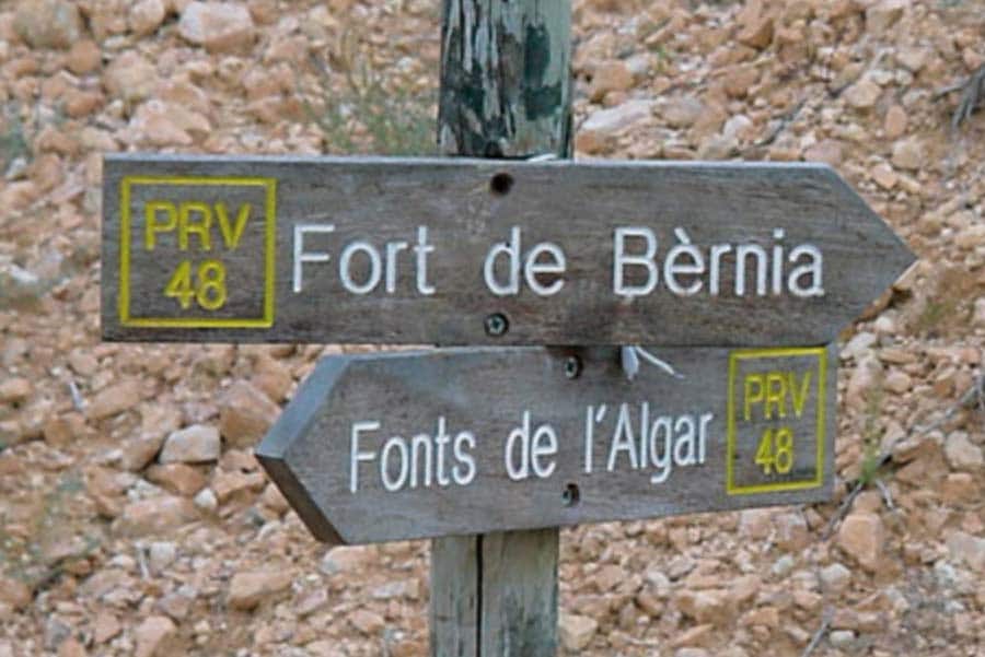
Once the car is parked in Font de la Barca, the route starts a few meters back next to the group of houses located to the west of the recreational area. The itinerary begins ascending a dirt road that leads to the Font del Runar. At this point there are signs to the Font de Bernia, with the chalk of the sierra on the right.
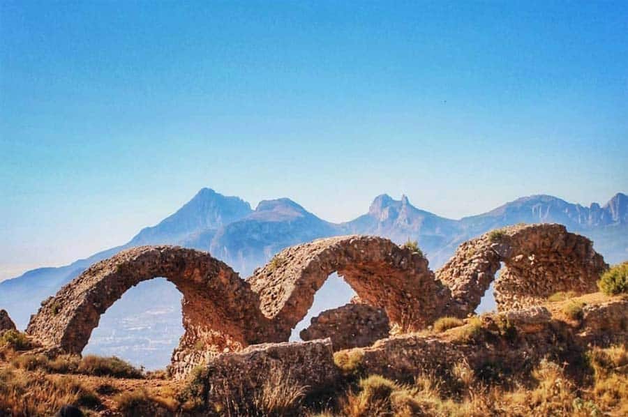
When you have walked approximately one kilometer you can already see the ruins of Fort de Bernia, the Bernia castle, which was built in the 16th century to protect the area from Berber attacks and Moorish revolts. In the 17th century, the castle was demolished.

Again on the route, you can climb to the top of the mountain along the ridge, adding two kilometers to the total length. It is not a comfortable climb, but it is accessible for climbers with some experience. The summit rises 1126 meters above sea level and offers a spectacular panoramic view of the surroundings.
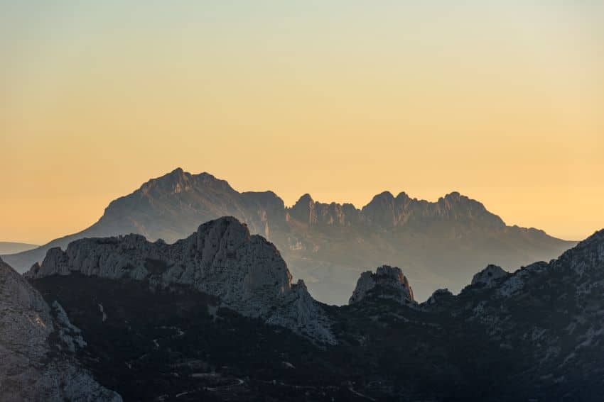
The route continues through the Xaló pass or l’Orenga pass, leaving it to the left and the Bernia mountain range to the right. As we advance we can see the towns of Tárbena and Bolulla. On the way, we go around the Bernia mountain range on the west side until we reach the Orenga rock, from where we can see the Ferrer mountain range.
Following this, and always following the marks of the PR-CV 7, you will reach a forest track that leads to the Cases de Bernia, and from there to Font de Bernia.

At the fountain we must take the path to the Forat de Bernia, which is approximately one and a half kilometers from this point.
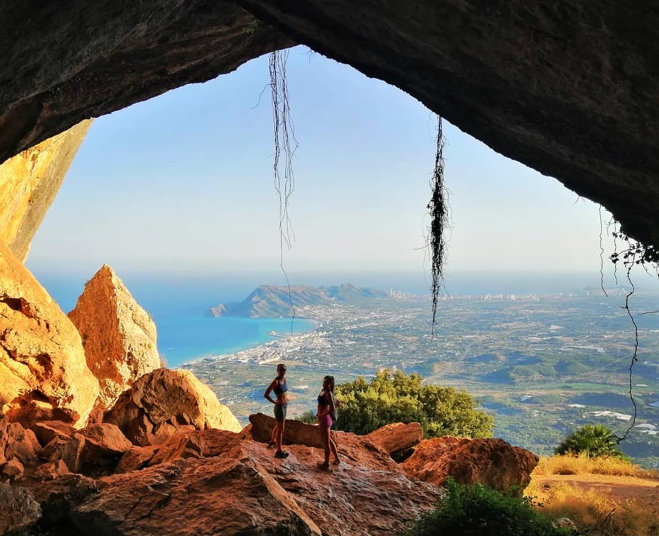
The Forat de Bernia is an incredible natural passage that connects the two sides of the Sierra de Bernia. Its length is approximately 20 meters and the height varies along its course. This passageway was used for centuries by shepherds. On the south face, this curious formation widens and gives rise to the Bernia cave, which offers spectacular views of the bay of Altea.
The final section of the route crosses several rocky areas that lead to the Font del Runar and from there to the Font de la Barca.
The circular route accumulates a difference in altitude of more than 800 meters.
Forat de Bernia on the south face
From the south face the total length is about 7 kilometers, with a cumulative drop of 300 meters.
The route is usually completed in about 2 hours and 30 minutes, and does not involve a high level of difficulty. The outward and return journeys are made by the same route.
The route starts in Font de la Barca and heads towards the Bernia mountain range. From there you can access the Font del Runar on the PR-CV 7. The indications are similar to those of the circular route, but with the difference that when you reach the Forat de Bernia, you return to the starting point following the same route.
Forat de Bernia on the north face
The route along the north face to the Forat de Bernia is shorter, 5.2 kilometers, with a lower cumulative elevation gain, only 275 meters, and a shorter duration, about 2 hours. Las Casas de Bernia are the starting point.
This option is more accessible for all types of public, as the only difficulty are some rocks. With a little experience walking on the field it is covered with total normality. The most complex point is to walk for 1.5 kilometers in constant ascent next to large rocks.
El Forat de Bernia is a natural enclave of unique beauty in Alicante. A scenic jewel that delights lovers of hiking and nature. Do you already know him? Would you like to visit it? We leave you a link to Wikiloc and think that Camping Armanello can serve as a base camp for you to stay and rest before and after this experience.

